
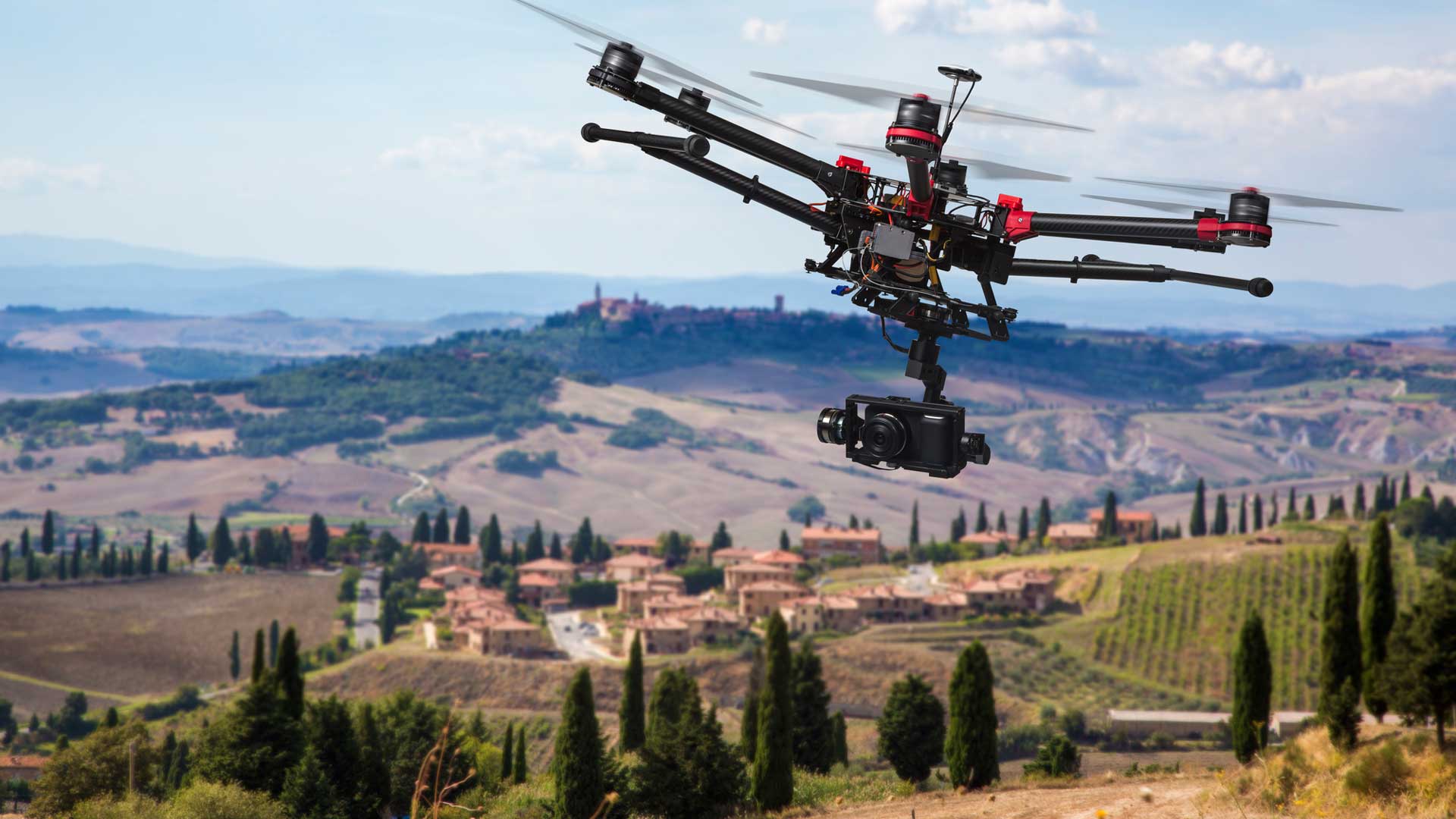
Drones or Unmanned Aerial Vehicles (UAVs) have revolutionized the agriculture industry. Farmers in the developed world are using drones in the agricultural workflow for many years now. It is a part of their precision agricultural workflow to ease the procurement and operations.
Aerial drone inspection is an essential part of the agricultural workflow, which lets the farmers know the farming field’s ins and outs. Here are how drones are used in agriculture.
#1 Soil & Field Analysis
Drones may be used at the beginning, middle, and end of a crop cycle to help collect reliable data regarding the current soil’s consistency. You will see any challenges regarding soil fertility, fertilizer conservation, or dead soil areas by accessing 3D maps of the actual ground.
This knowledge will help farmers define the most successful planting patterns, crop management, soil, and more. Continuous monitoring can help to use water supplies better and control the quantities of crop nutrients more effectively.
#2 Seed Planting
Planting crops is an expensive and cumbersome task that traditionally requires a great deal of manpower. UAVs also simplified crop planting for farmers with the potential to cover vast acres of land with optimum accuracy and precision within a limited period.
Today’s high-end UAV farming technology provides UAV-powered planting techniques that reduce the cost of planting by up to 85 percent. Drone technology also reduces the need for on-the-ground planting, which can be expensive, time-intensive, and complicated work.
#3 Crop Mapping & Surveying
The simplicity and efficacy of large-scale crop and acreage tracking are vital benefits of using drone technology. Satellite or plane imagery has been used to help get a large-scale view of the plant, thus helping to locate possible problems.
You can literally assess plant health based on light absorption with near-infrared drone sensors, giving you a bird’s-eye view of overall farm health. With agricultural drones, you will be able to gather data such as:
- The general health of crops and plants
- Distribution of land-based on type of crop
- The present life cycle for crops
- Detailed GPS maps of the region of existing crops
The end result is clear, drones will help optimize land and equipment use and help farmers decide areas for crop planting better.
#4 Livestock Monitoring
Some drones are fitted with thermal imaging cameras that allow livestock to be controlled and tracked by a single pilot. This helps farmers keep track of animals at a much higher frequency and less spending on time and workers.
The aerial inspection drone operator will check in on the herd quickly and see if any animals are wounded or lost, and see cattle give birth. Farmers use drones to keep an eye on the flock, a task that was once expensive and time-intensive.
Besides, thermal imaging can also help keep an eye out for some animal predators, which will be a significant bonus for certain farm owners.
Final Thoughts
You should expect this sector to develop at a swift pace, like most technology-related stuff. The future for agricultural drone work is promising, whether we’re looking at autonomous drone fleets, hybrid aerial and ground data collection fleets, or merely highly-trained individual pilots.